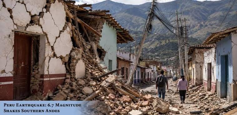


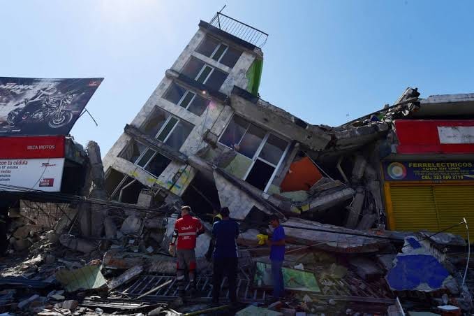
A 7.4-magnitude earthquake struck western Colombia at approximately 7:34 AM local time (12:34 UTC) on Monday, August 10, 2026. Described by Colombia’s Geological Service as the strongest quake recorded in the country in the last decade, the event triggered widespread destruction, building collapses, and emergency evacuations across multiple departments.
Key Overview & Seismological Details
- Magnitude & Depth: Measured at 7.4 magnitude by the USGS and local geological authorities, with an epicenter located at a depth between 96 km and 107 km.
- Epicenter: Near San José del Palmar in the Chocó region (approximately 280–400 km west of Bogotá).
- Aftershocks: Over 20 aftershocks have been registered, including notable tremors measuring up to 4.8 magnitude.
- Regional Impact: Strong shaking was felt in neighboring nations including Ecuador, Panama, and Venezuela. No tsunami threat was issued for Colombia’s Pacific coast.
Casualties & Human Impact
| Category | Official Figures & Impact |
|---|---|
| Fatalities | At least 132 confirmed dead (counts continue to rise as rescue teams search rubble). |
| Injured | Over 570 people receiving medical attention. |
| Missing | Digital registries list over 2,000 missing persons, primarily centered around Cali and Pereira. |
| Hardest-Hit Areas | Pereira (Risaralda): 60+ deaths; heavy damage to residential and public infrastructure. Cali (Valle del Cauca): 27+ deaths; at least 19–20 buildings collapsed with residents trapped. Chocó Region: 12+ deaths; major structural destruction in Quibdó and near the epicenter. Caldas & Antioquia: Fatalities and structural collapses, including damage to historic landmarks. |
Structural Damage & Infrastructure Disruption
- Residential & Public Buildings: Over 1,577 residential structures damaged, 37+ completely destroyed, and more than 60 collapsed outright. In addition, 18 health centers and 52 schools have sustained significant damage.
- Landmarks: In Manizales, the historic Cathedral Basilica of Our Lady of the Rosary suffered severe damage, with a spire collapsing onto the main nave.
- Air Travel Restrictions: Six regional airports—including those serving Pereira, Manizales, Quibdó, Armenia, Cartago, and Buenaventura—suspended commercial operations to allow for structural inspections and to prioritize humanitarian airlift operations.
Government Response & International Support
- State of Emergency: Newly sworn-in President Abelardo de la Espriella declared a National State of Emergency to deploy full national resources and expedite funding for search-and-rescue operations.
- On-Site Operations: Strategic response centers have been set up in San José del Palmar and affected provincial capitals to coordinate heavy equipment and rescue dogs searching through collapsed structures.
- Global Aid Offers: The European Union activated its Copernicus satellite mapping service to support emergency workers. Offers of international disaster assistance have been extended by the United States, Israel, Mexico, Ecuador, and France.